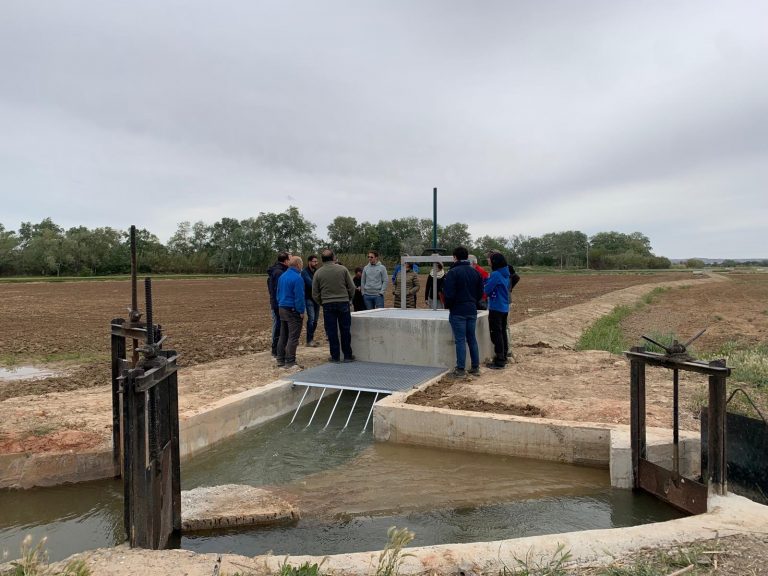
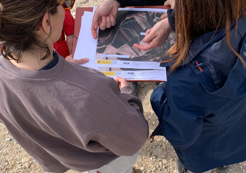
The LIFE Ebro Resilience P1 Project has organized field visits to explain in the field the actions of adaptation to floods in the Osera de Ebro – Fuentes de Ebro section through the so called lateral flow buffer zonesThis innovative proposal has been designed to reduce the damage caused by the extraordinary floods of the Ebro to farms adjacent to the riverbed.
On June 5, 6, 10 and 11, four sessions have been planned for owners or tenants of plots bordering roads or irrigation infrastructures in which these areas are to be intervened. The aim is to specify with the interested parties the form and time of execution of the works in order to make the works compatible with the economic activities of the territory.
The action will be carried out by the Ebro Hydrographic Confederation and, therefore, the content of these sessions will be presented by technicians from this organization, who are responsible for the intervention.
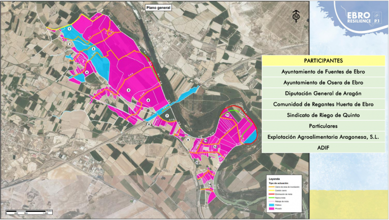
Together with the private owners, the Town Council of Fuentes de Ebro, the Town Council of Osera de Ebro, the Irrigation Community of the Huerta de Ebro, the Quinto Irrigation Syndicate and the ADIF will participate in these visits.
Participation and information
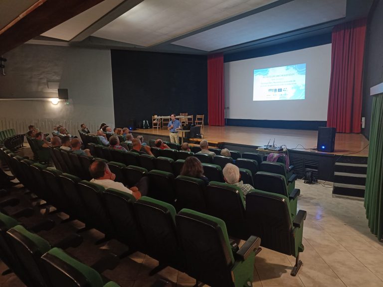
Last Monday, May 27, the LIFE Ebro Resilience P1 Project and the Comunidad de Regantes de la Huerta del Ebro organized a public conference to present the actions for adaptation to flooding of agricultural areas in the Osera de Ebro and Fuentes de Ebro (Zaragoza) section. The mayors of Fuentes de Ebro, Osera de Ebro, Quinto and Pina de Ebro attended this session, which included technical explanations and information on the public participation process that is being developed.
The projected intervention, of which the attendees were informed, is 55% financed by the European Commission, through the LIFE Program, and the remaining 45% by the central administration (Ministry for Ecological Transition and Demographic Challenge, through the Ebro Hydrographic Confederation) and the regional administration (Government of Aragon), part of the partners of this LIFE Project.
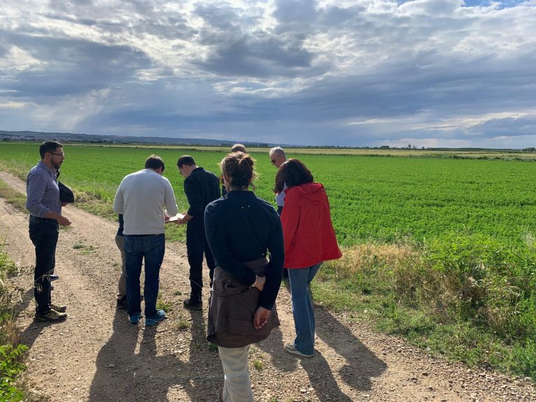
The deliberative process started in 2021 and intensified at the end of 2022 with the creation of a stable participation group between technicians, municipal representatives and the Irrigation Community. In addition, other actions have been carried out such as field visits and guided tours with stakeholders and the general population.
Intervention
The proposed action has been defined on the basis of a detailed technical study using the most advanced technology available at the time and with the participation of stakeholders in the territory.
The adaptation of agricultural estates will be carried out by implementing lateral flow buffer zones, an innovative proposal that involves compartmentalizing 350 ha of the Ebro huerta into areas that will be pre-flooded in a controlled manner during episodes of extraordinary flooding, generating water buffers that will minimize damage to farms and infrastructure when there is a generalized overflow.
The ultimate objective of these actions is to ensure that, after an extraordinary flood event, normality is restored as quickly as possible and at the lowest possible cost.
Other work on the section
Together with the buffer zones, in the Osera de Ebro – Fuentes de Ebro section there are two other types of intervention already underway or at an advanced stage of definition.
The first is the adaptation of the irrigation system of the Huerta de Ebro Community, an action that has already been executed in its first phase and is being carried out by the Government of Aragon. The works consist of moving away the pre-existing pipeline in its section close to the riverbed (a total length of 2,300 meters), which was very exposed to flooding and to the effects of mottling breakage.
In addition, it is moving from an open-air infrastructure to a buried concrete pipeline, increasing efficiency, reducing losses and maintenance work.
The second is designed to increase the capacity of the riverbed, delaying as much as possible the overflow on the farms. This will be achieved by widening the channel in the two narrowest areas of the channelization, moving the current levees further away from the river.
